By Mary Burke
CalTrout North Coast Program Manager
Overview
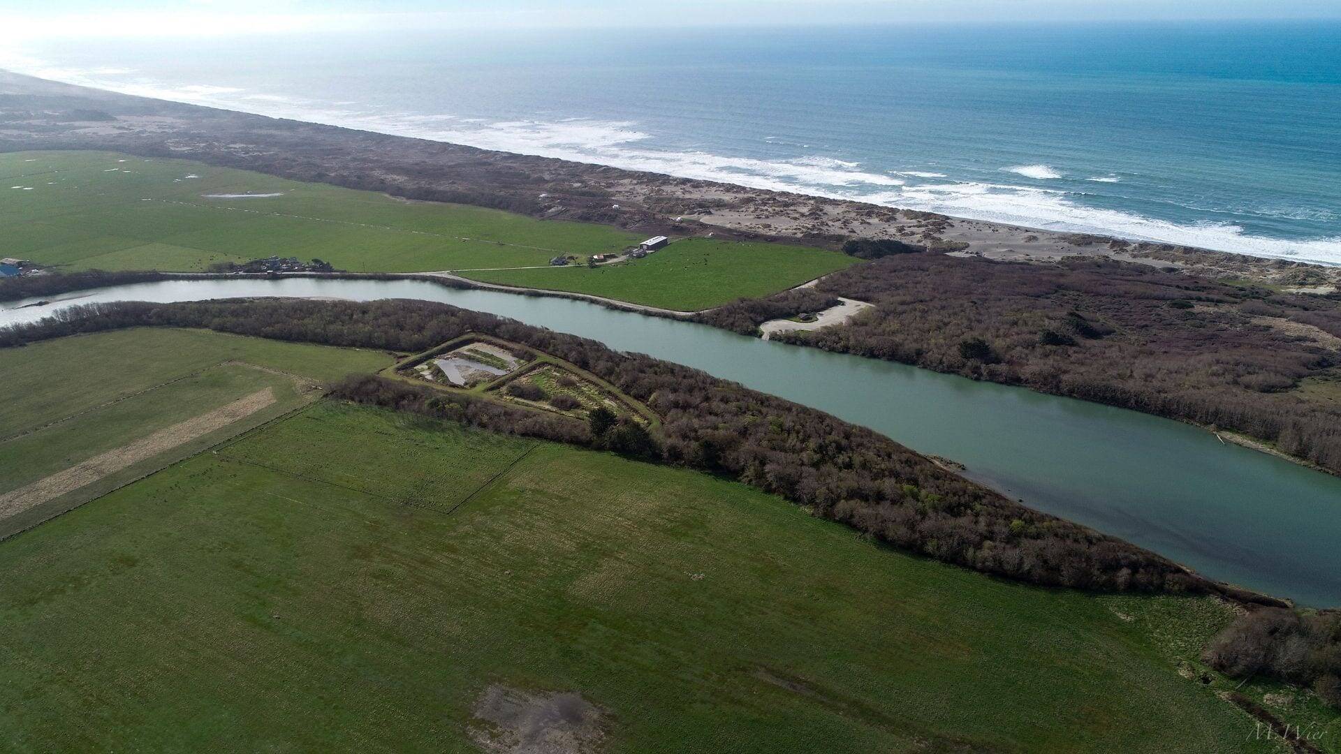
The rivers and streams of the North Coast provide the potential for a climatic refuge for estuarine-dependent aquatic species such as coho, steelhead, and Chinook, as well as important nursery habitat for other species of cultural and economic value. The Mad River Estuary Floodplain and Off-channel Habitat and Public Access Project, located within the last few miles before the Mad River enters the mighty Pacific, is an important element of CalTrout’s Estuaries Initiative. The Project will restore an element of habitat complexity in a highly simplified estuary – providing off-channel habitat and floodplain connection.
California Trout has led a project team to design this multi-benefit project in partnership with the McKinleyville Community Services District (MCSD) - the landowner - a team of local professional firms, and in close consultation with the NOAA Restoration Center, US Fish and Wildlife Service, the State Coastal Conservancy and CA Department of Fish and Wildlife.
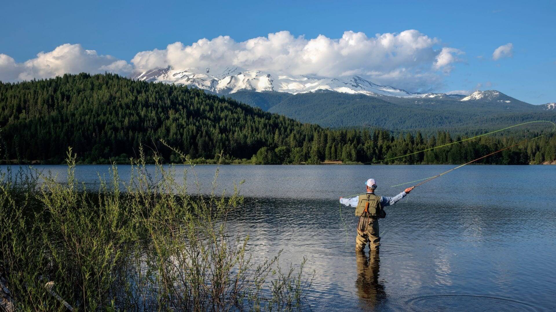
Cover Photo: Mad River Estuary Enhancement: Off-channel and Public Access Improvements by Mike Wier
The Mad River Watershed and Historical Condition
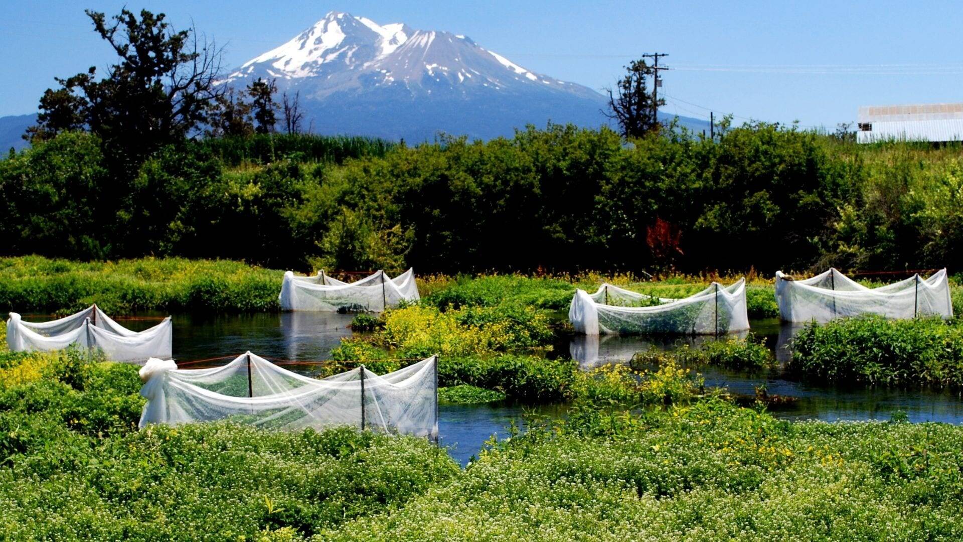
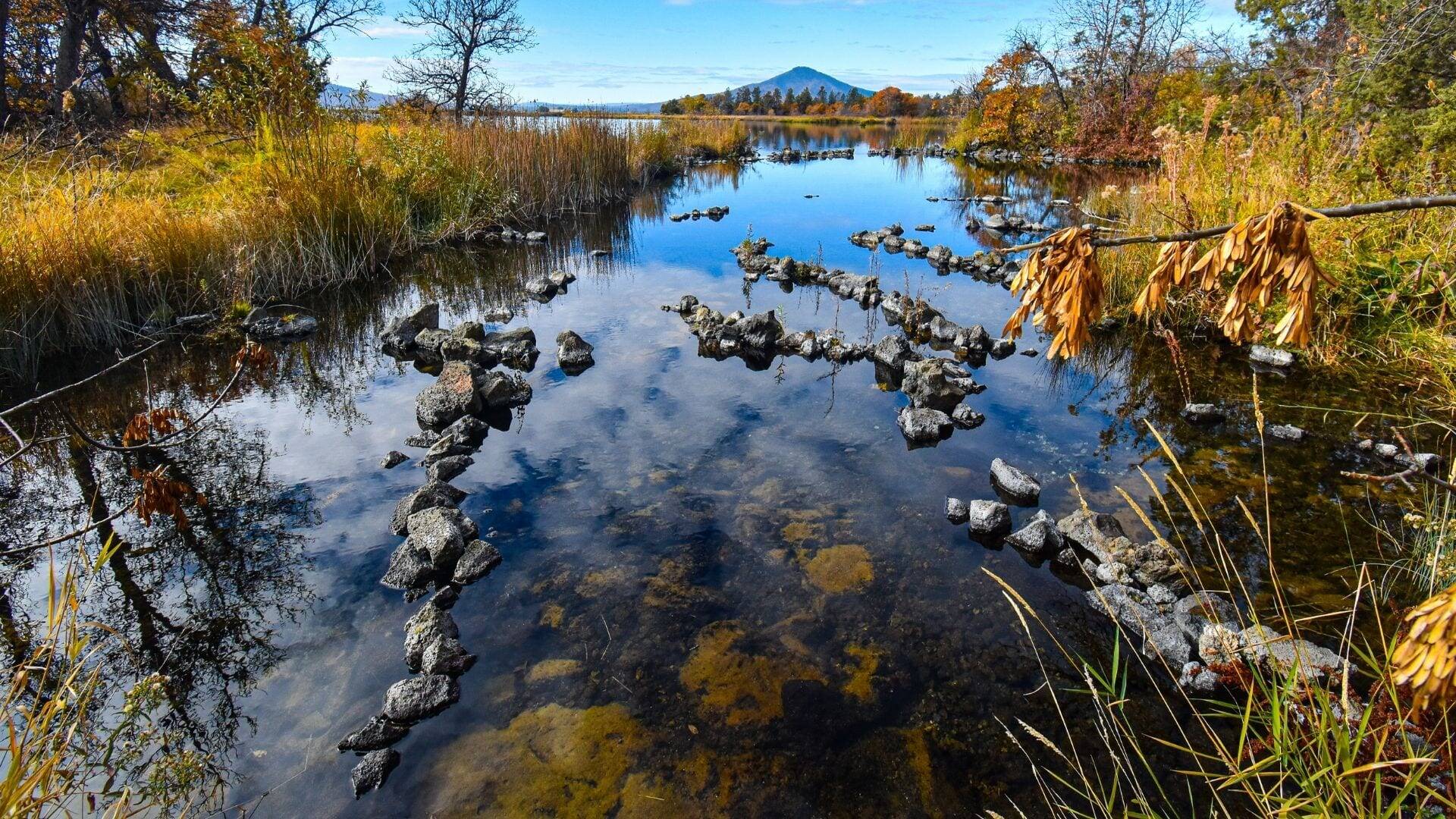
The Mad River drains 497 square miles over a length of roughly 100 miles to the Pacific Ocean, 6 miles north of Humboldt Bay. The river offers close to 50 miles of spawning and rearing habitat but is severely limited in estuarine and off-channel habitat to support juvenile fish during winter or on their way out to sea. The Project is located in the tidal zone 3 miles from the river mouth.
Photo: Mad River by Mike Wier
Most coastal watersheds in northern California have tracked a similar course from the late 1800s to present with timber harvest intensifying in the late-1940s resulting in major impacts to the watersheds. These watersheds were subject to the massive 1955 and 1964 storm events that raged through the tributaries and rivers of the region resulting in large-scale hillslope and streambank erosion and instream habitat degradation. In addition to the impacts from timber harvest, the lower Mad River was also extensively manipulated as early as 1854 when the Humboldt Bay and Mad River Canal Company expanded slough channels to support log transport to mills located in Humboldt Bay. Although that alignment did not persist, subsequent floods combined with extensive agricultural development along the river prompted construction of a series of levees and armoring that effectively eliminated most floodplain and riparian habitat.
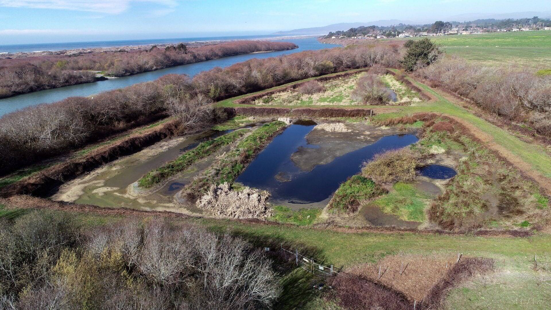
In the early 1980s the McKinleyville Community Services District constructed two “percolation ponds” by the river where treated effluent could be safely disposed. This method of treated wastewater disposal is no longer in favor by the Regional Water Quality Control Board, leaving the project site unusable for the Community Services District, and inaccessible for habitat or public access. Today, levees and ponds remain, and are separated from the Mad River floodplain.
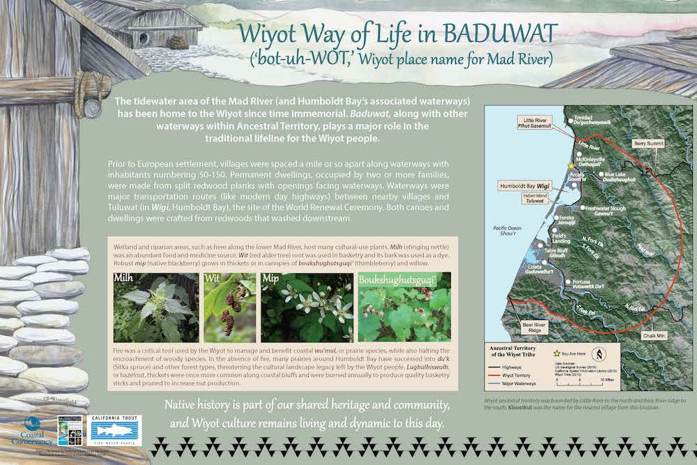
The Wiyot
The Wiyot Tribe are a critical partner for many projects on the north coast, as their ancestral territory spans the lower Eel, Humboldt Bay, Mad River, and up to Little River just south of Trinidad. Prior to colonization of the area, the lower Mad River was an especially important location for villages and ceremony due to the abundance of salmon and steelhead as well as the raised bluff that offers a coastal view that inspires. The Wiyot are partnered with CalTrout, an interpretive specialist Redwood Coast Action Agency, and the landowner, McKinleyville Community Services District to include Wiyot language linked with Quick Response (QR) codes that can be scanned by a cell phone for an audio guide to pronunciation (example the word water ‘hou’l’ ).
McKinleyville Community Services District and community
The Project is located in the unincorporated community of McKinleyville with a population approximately 17,000 within Humboldt County. The landowner, McKinleyville Community Services District (MCSD) is a public agency since 1970 that provides services including water, wastewater, recreation and open space management services and supports the development of opportunities for both passive and active recreation within the limited properties where the MCSD has jurisdiction. As a local agency, MCSD’s forward-thinking leadership and stewardship of the floodplain property provide an inspirational example of achieving multiple benefits with a project.
Habitat Recovery
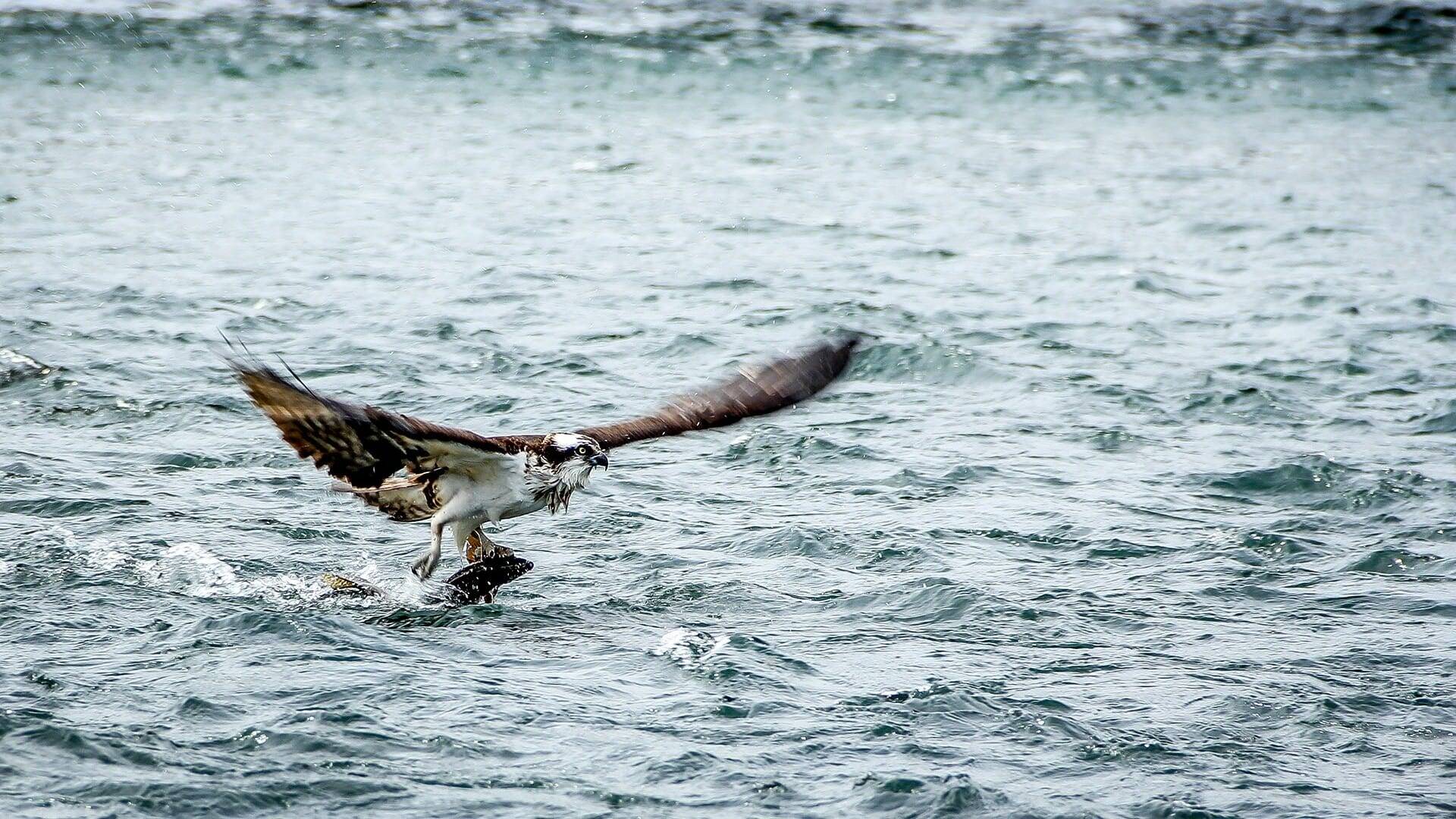
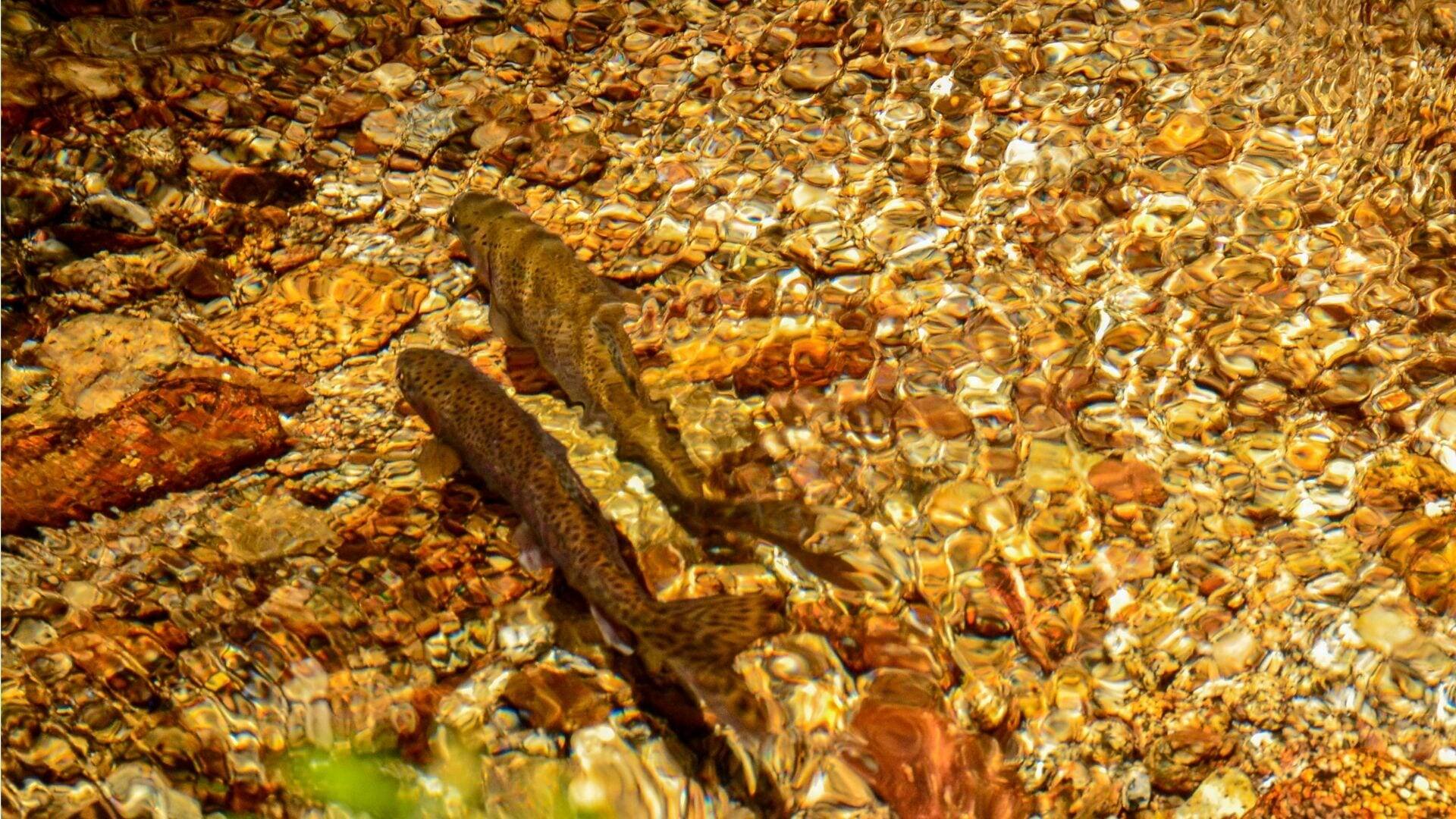
The left bank of the river is leveed to protect roadways and grazing pasture; the right bank below the project site is bordered by a 30-foot high bluff to the mouth at the ocean. Due to the lower river being lined by dunes and the bluff as well as the protection of prime agricultural land, there are limited opportunities to achieve habitat objectives - making this proposal particularly important. This project will increase the amount of off-channel habitat in the estuary that is available for overwintering for federally threatened Southern Oregon Northern California Coast (SONCC) Coho Salmon, federally threatened California Coastal Chinook Salmon (O. tshawytscha), and federally threatened Northern California Steelhead (O. mykiss). Improvements in habitat quality and quantity may also benefit other sensitive aquatic species, including Tidewater Goby and Longfin Smelt.
The primary objective of this restoration project is to remove levees from the floodplain and restore a floodplain and river connection. To provide off-channel habitat, backwater channels will be built to connect the mainstem to newly created wetlands and ponds and will increase the quantity and quality of available aquatic and riparian wetland habitat in the lower Mad River watershed.
Public Access
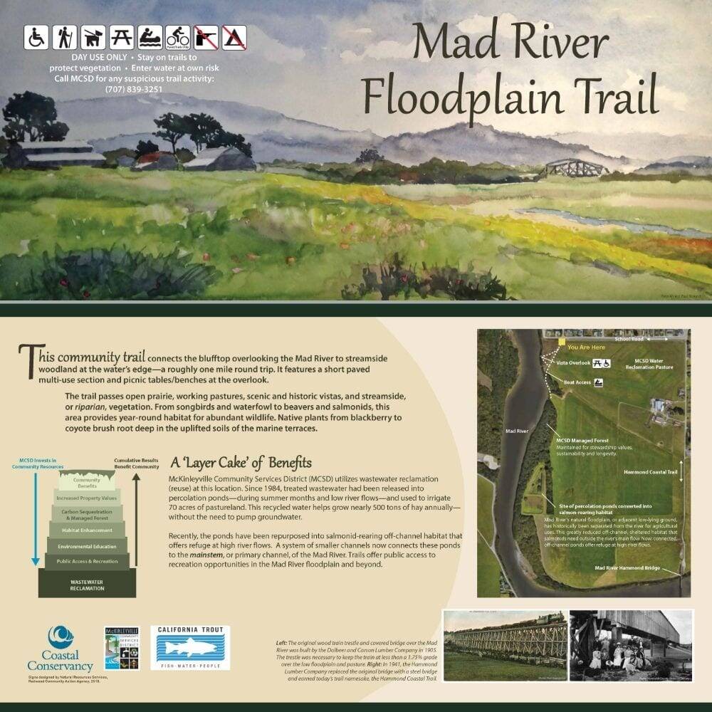
The Project is located in the southwest corner of McKinleyville where this unique opportunity for easily accessible coastal nature viewing and recreation is provided by the proximity to the ocean dune system and the river’s estuary. The Project will transform the existing overgrown bluff and uneven dirt-surfaced trails into 700 feet of an Americans with Disability Act (ADA) compatible path and access to a new coastal overlook with 4 interpretive signs and an interpretive brochure-based tour, 3 resting sites with benches, and an ADA parking space and 2 additional improved parking spaces, as well as 600 feet of a gravel wildland interface trail that allows for river-level access points and a lightly developed boat launch feature. The Project’s paved trails and overlook are sited approximately 30 feet above the river and ocean level, eliminating risk of flooding and impacts from sea level rise and tsunamis. The overlook and river-level access are designed to be robust, long-lasting features due to the 2009 Humboldt County bluff stabilization project.
Paved trails to the overlook will allow universal access to viewpoints that showcase grassland, estuarine, and river species. The overlook and trail design offer both space for physical activity and reflection. The trail that branches off from the ADA paved trail leads down the bluff to the water’s edge for a more intimate connection to the river. The 2009 bluff stabilization project placed rip rap along the riverbank and these rocks will be cut to form steps to the water level offering a lightly developed river access feature for wildland-oriented intrepid recreationists, anglers, and light craft boaters to enter the water. A gravel trail will extend to the wildland interface at the southern terminal end of the trail where viewers will glimpse the off-channel riparian habitat designed to support the growth of juvenile coho salmon prior to their outmigration to the ocean.
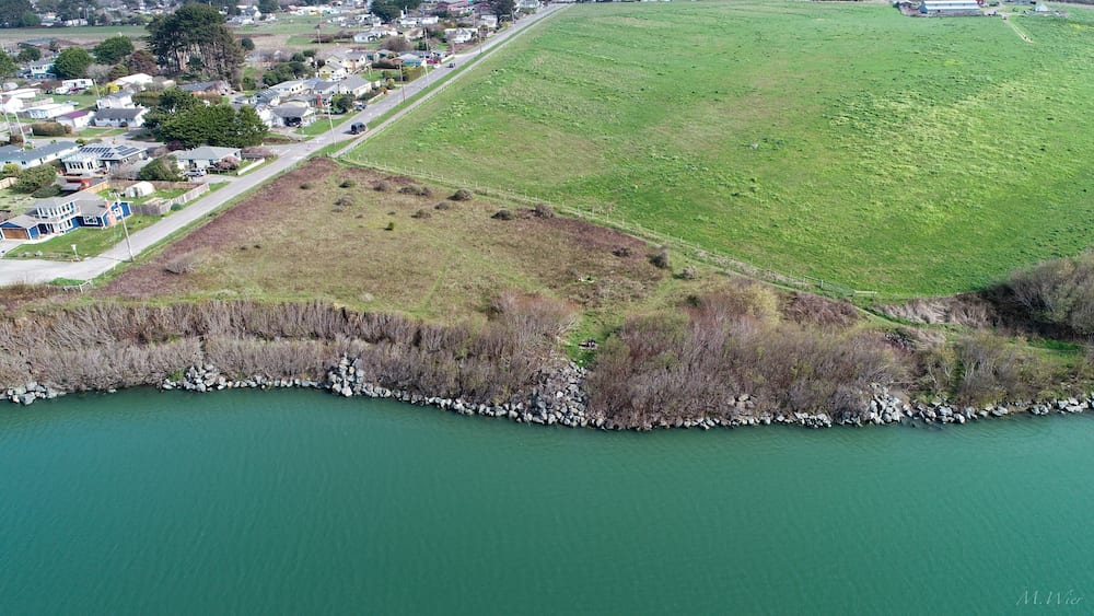
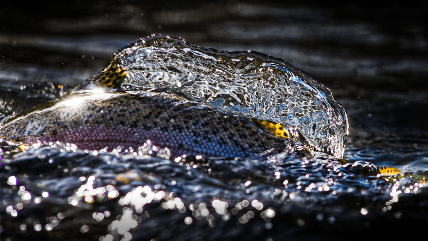
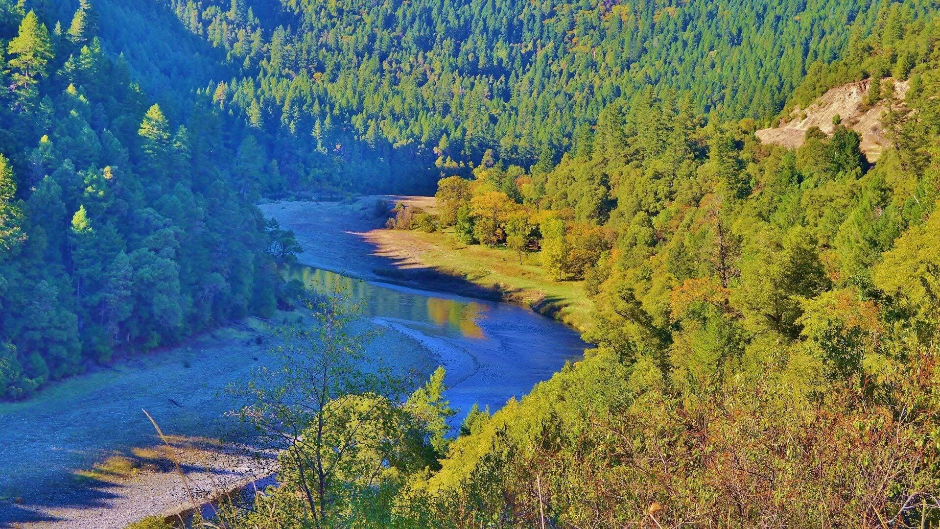
Photo: Mad River Estuary by Mike Wier