Eel River Sonar System Reveals Salmon and Steelhead Status to Scientists, Anglers and Agencies
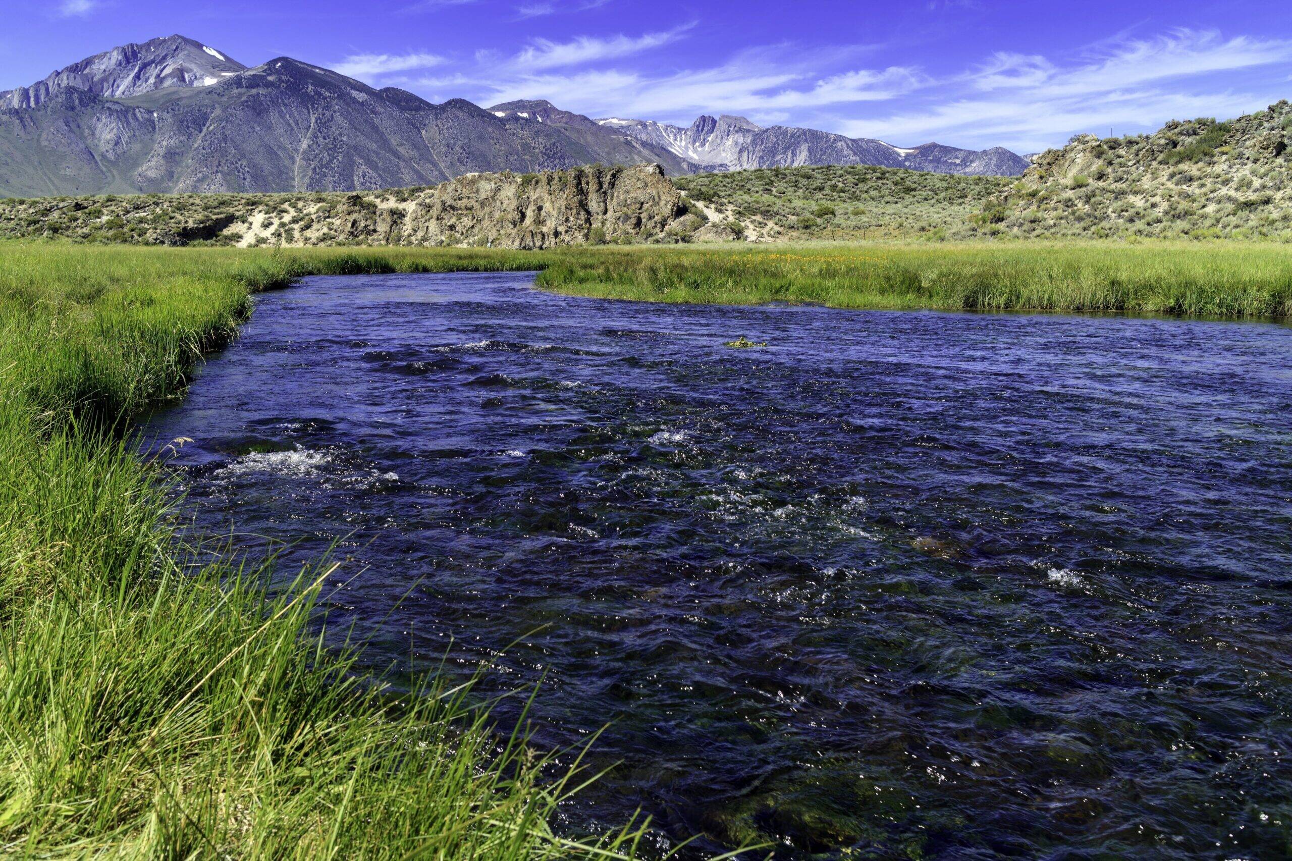
The South Fork Eel River is a salmon and steelhead stronghold and represents the best opportunity to restore wild fish abundance. This stretch of river has been impacted by excessive water diversions in many of its tributaries. Improving stream flows is critical to protecting key life-stages for coho salmon and steelhead survival.
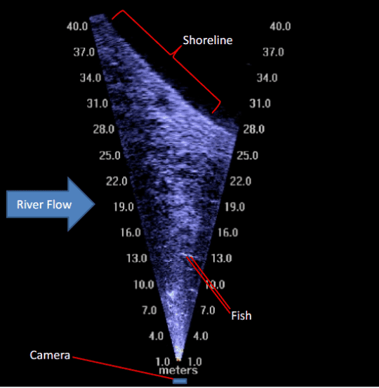
To inform our conservation work on the Eel, CalTrout has teamed up with partners on this new project - The Adult Salmonid Sonar Monitoring Program - to tally the annual spawning run of Chinook salmon, coho salmon, and steelhead on the South Fork Eel River with a Sound Metrics Dual Frequency Identification Sonar (DIDSON) camera.
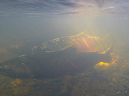
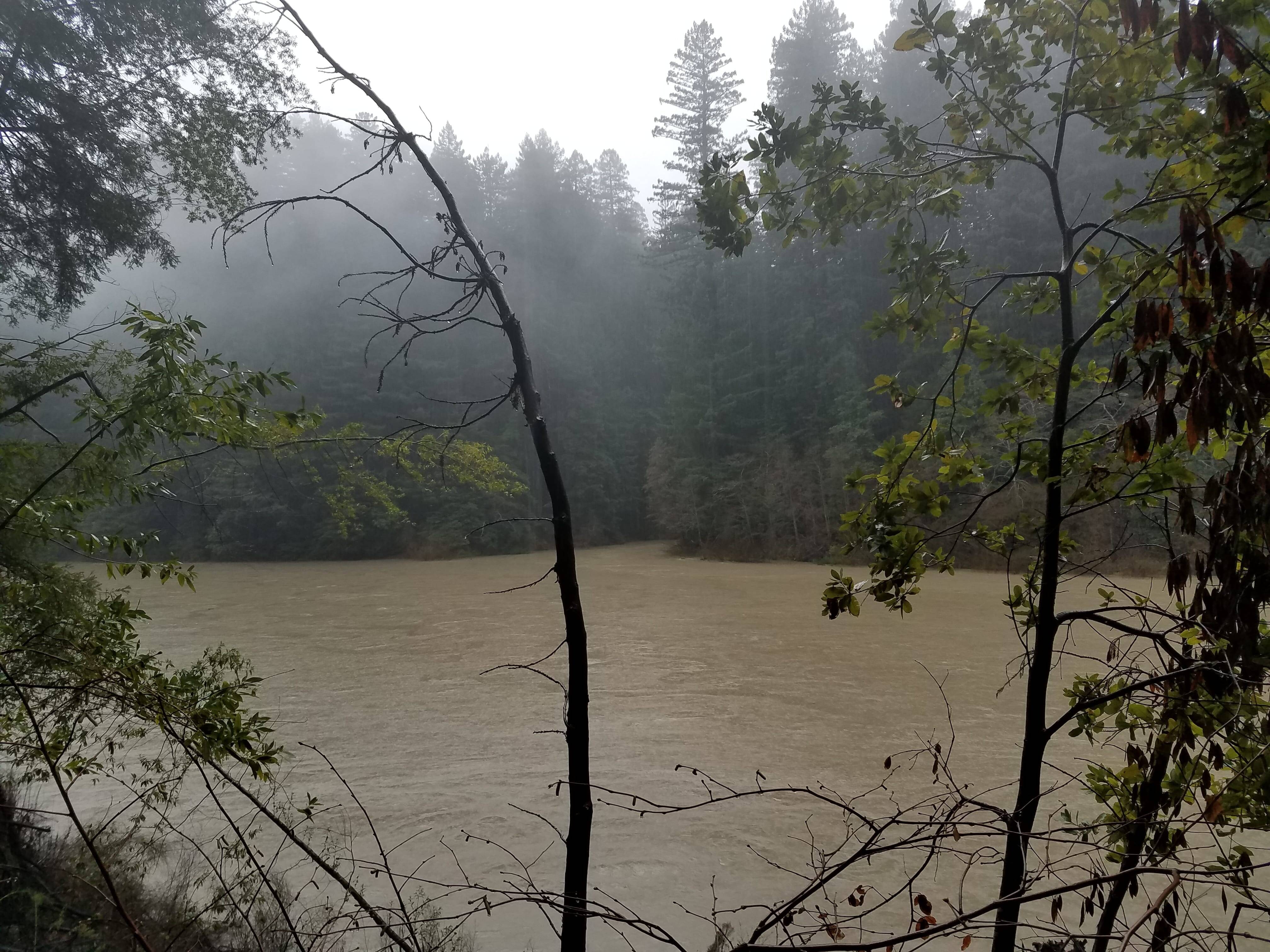
These fish often spawn in muddy and turbid reaches which make it impossible to count fish using traditional spawner surveys. SONAR technology allows us to more accurately monitor salmon which under past survey techniques might be un-detectable. Project partners include CA Dept. of Fish and Wildlife, CA State Parks, and the California Conservation Corps and is funded by the CDFW Steelhead Report and Restoration Card Program.
Little had been known about the status of these fishes since the Benbow Dam counting station went offline in 1977. Until now, we’ve had only rough estimates of the number of Chinook and steelhead, because it’s very difficult to do spawning ground surveys on a river as big as the South Fork.
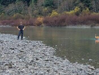
Mathew Metheny, CalTrout's North Coast Program Manager, organized and obtained funding for the entire SF Eel Didson monitoring effort. He operates the advanced sonar imaging system (DIDSON) on the South Fork Eel River to count the annual spawning run of salmon and steelhead.
CalTrout’s effort on the South Fork was complemented by an identical sonar system on the mainstem Eel, operated by the California Department of Fish and Wildlife. Together, the two stations counted over 7,000 Chinook salmon in fall 2018. CalTrout is currently prepping for the next year’s migration season and reporting run-size numbers.
This population status information is invaluable to threatened species recovery planning and helps us to know what restoration practices have been most effective.
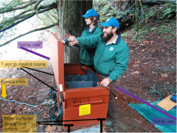
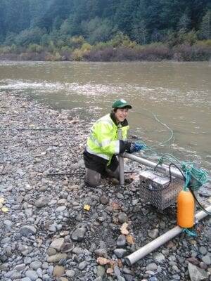
Figure 1. Photo of jobsite lock-box which stores batteries, laptop, and SONAR components. California Conservation Corps members (Daniel and Omar) conduct daily battery changes.
SONAR technology allows us to more accurately monitor salmon which under past survey techniques might be un-detectable.
Counting fish using DIDSON has many advantages. Our team counting DIDSON fish images can slow down, replay and even stop the video if they are fatigued or lose their place. Which cannot be done using traditional counting methods.
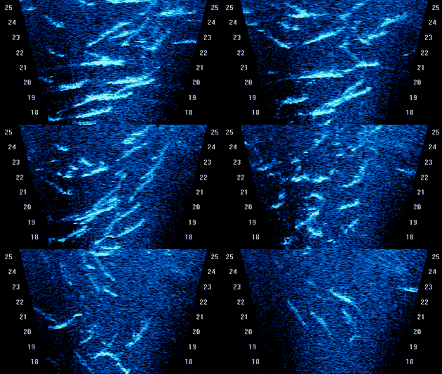
Imaging sonars can produce high-resolution video images of fish, in part because it uses high-frequency sound waves that enable it to detect the entire surface of the fish.
Using DIDSON, field scientist can better distinguish between fish that are swimming side-by-side or head-to-tail and determine which direction fish are swimming.
Knowing the direction in which fish are traveling is important in rivers where fish tend to mill.
Alternative Methods of Fish Counting
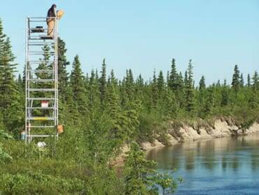
Counting Towers - Counting towers are installed alongside clearwater streams to provide an unobstructed view of migrating fish. Generally, a field scientist counts fish for 10 minutes each hour on each side of the stream.
This number is then extrapolated to represent a full hour. Counting towers have minimal equipment costs and provide reliable counts, but only work in clear, shallow streams where fish swim close to shore and are highly visable.
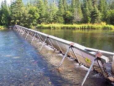
Weirs - A fish weir is essentially a fence installed across flowing water to block the passage of fish. Weirs installed to count salmon prevent fish from migrating upstream until a technician opens a gate to release them through an opening in the weir. As the fish pass through the opening, the technician can count each and every fish.
Weirs provide the most accurate method of counting returning salmon. They are also cost effective and can be easily used to collect sex and length data and scale and tissue samples from salmon. But weirs can only be used to count salmon in narrow, shallow streams.
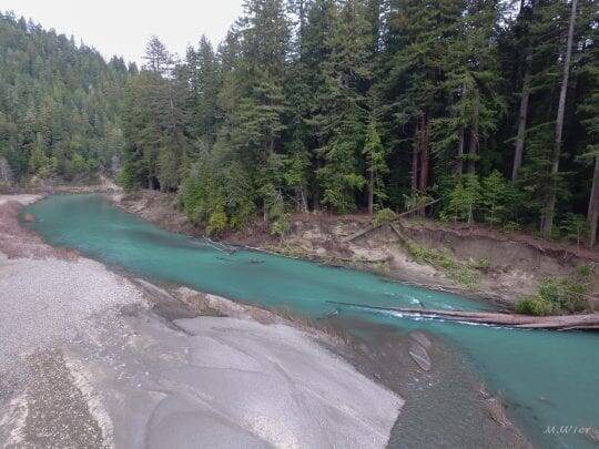
Ground Surveys - In a ground survey, field scientists access the stream by foot and estimate the number of fish present and extrapolate the total number of fish spawning in the river from this number.
This method is cost effective but cannot be used to cover many streams quickly and is limited to streams accessible by foot.
Source: Alaska DFG


