Lower Sacramento River Watershed
Dams, levees, and canals have cut the river off from more than 95% of its historical floodplain wetlands. In short: levees starve salmon but through innovative solutions and partnerships we can reconnect fish with food.
Understanding the HISTORY
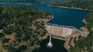
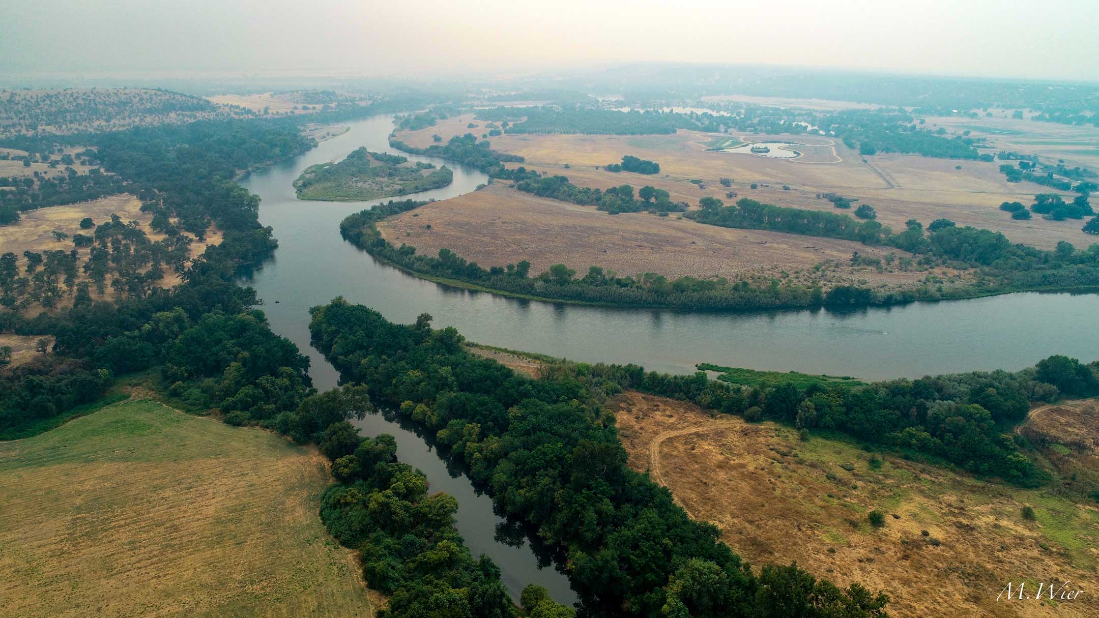
Below Shasta Dam, the Sacramento River spreads out across the Sacramento Valley on its way toward the Sacramento-San Joaquin Delta and the sea.
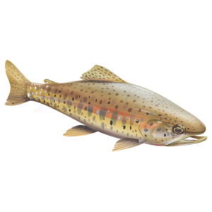
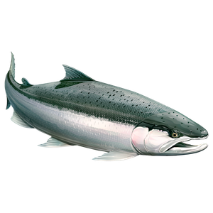
The lower watershed spans more than 27,000 square miles across 14 counties, supplying water to over 2 million Californians while supporting some of the richest fish and bird diversity left in the state — Chinook salmon (fall, late-fall, winter, and spring runs), steelhead, Delta smelt, green and white sturgeon, and more than 200 species of birds that depend on the valley’s wetlands each year.
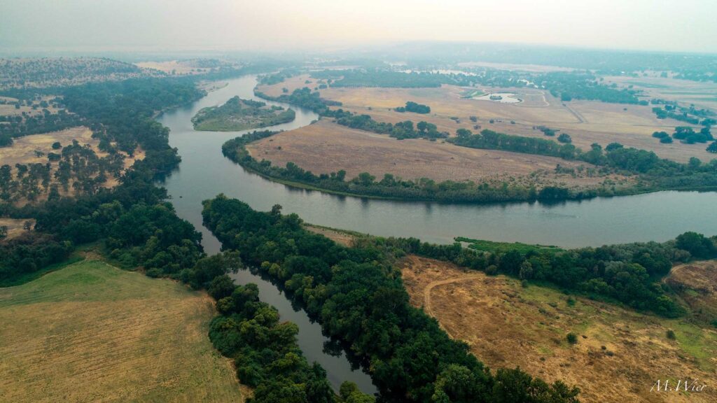
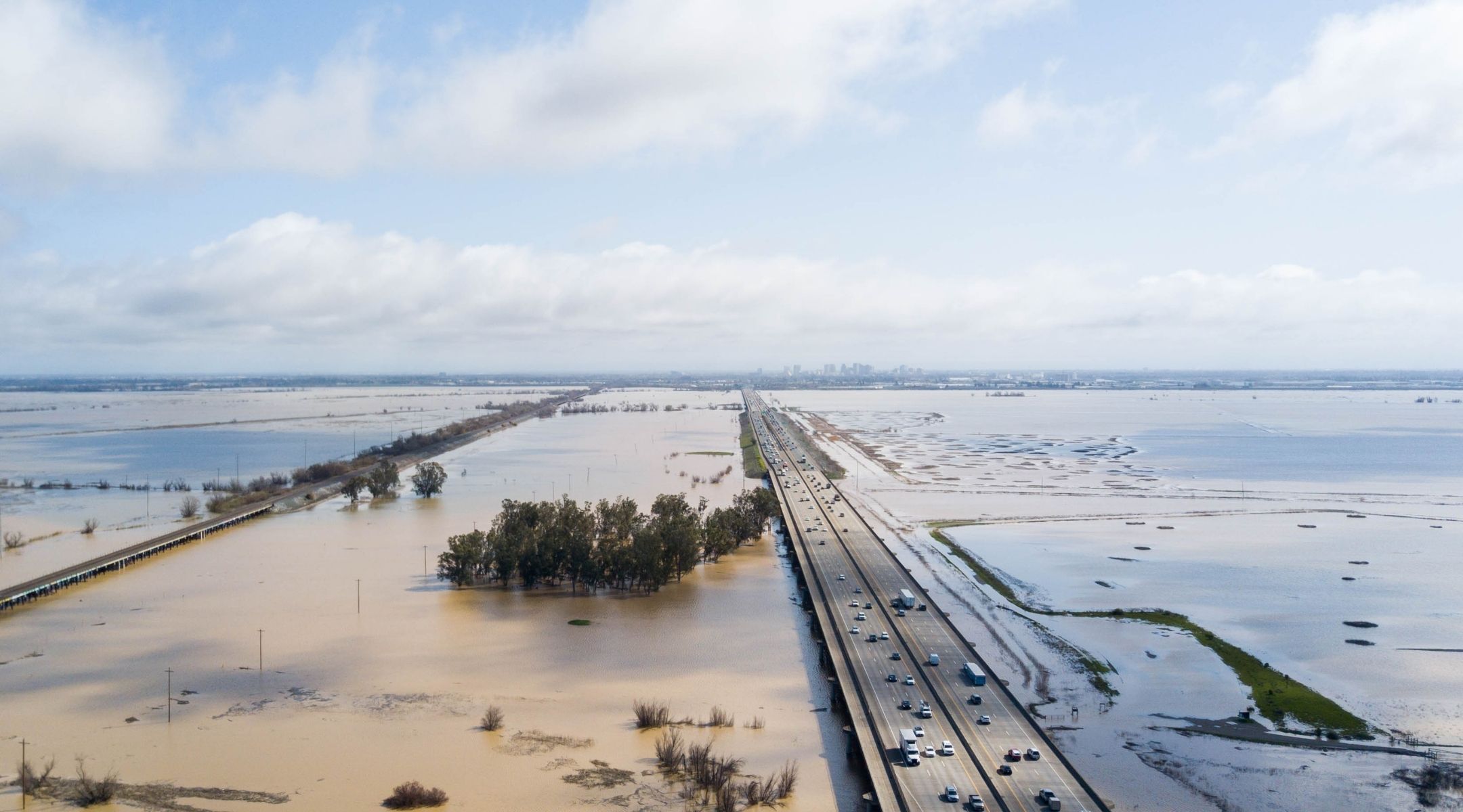
Before the valley was leveed and farmed, it looked almost nothing like it does today. Salmon once ran in the hundreds of thousands through a landscape where riverbanks blurred into vast seasonal marshland, flooding and receding with the seasons in a way settlers found messy and unpredictable — but that turned out to be exactly what made the valley so extraordinarily productive. Over the past century and a half, dams, levees, canals, and farmland have brought that unpredictability under control. They also cut the river off from more than 95% of the historical floodplain wetlands that once fed it, leaving juvenile salmon to migrate through leveed channels that produce only a fraction of the food they need to grow. In short: levees starve salmon.
The science behind Fish Food
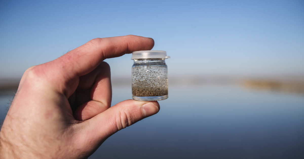
Managed wetlands can produce up to 15,000% more invertebrate biomass than a leveed river channel, helping young salmon grow up to 12x faster on their way to the ocean.
Program 1 | Fish Food & the Floodplain Forward Coalition
Reconnecting Fish with the Food Web
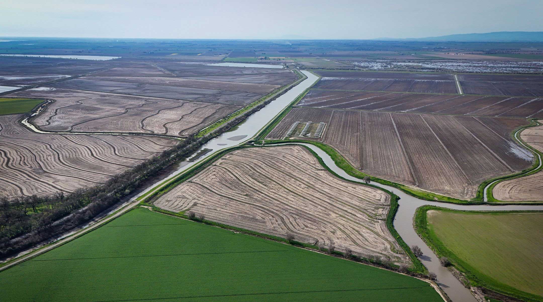
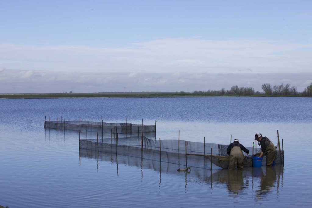
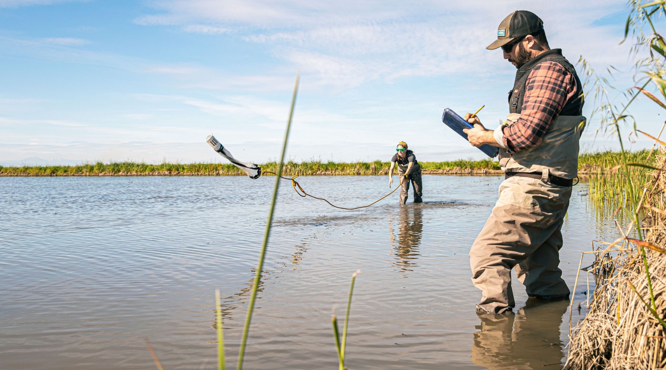
To address the impacts from levees, CalTrout works to put fish food back within reach. As a founding member of the Floodplain Forward Coalition — a partnership of 35 government agencies, water suppliers, growers, and conservation groups — CalTrout leads Fish Food programs that flood Sacramento Valley farmland, mostly rice fields, during the winter months when crops aren’t growing, then drain that water back into salmon-bearing channels. In 2025, the program had 25,100 acres enrolled and completed nearly 60,000 flood-drain cycles — and CalTrout is working to scale that up further.
Program 2 | String of Pearls
Stitching Together a Chain of Food-Rich Floodplains for Fish
None of this happens on one farm or in one season. It’s the product of a decade-plus of science, pilot projects, and coalition-building across the entire Sacramento Valley, and CalTrout is now stitching those individual sites together through String of Pearls — an initiative to identify, restore, and connect floodplain and off-channel rearing habitat across roughly 300 miles of the Sacramento River’s migratory corridor, from Redding down to Rio Vista. Funded by NOAA and built with engineering and Tribal partners including the Mechoopda Tribe, the Paskenta Band of Nomlaki Indians, Redding Rancheria, and the Pit River Tribe, String of Pearls targets habitat specifically for the endangered Sacramento River winter-run Chinook salmon — giving juvenile fish a connected chain of food-rich rearing sites along their entire journey to the sea, rather than isolated patches of restored habitat surrounded by miles of food-poor leveed channel.
Program 3 | Salmon Habitat on Rice Fields
The Nigiri Concept
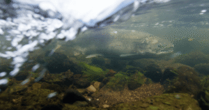
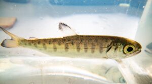
Long before “Fish Food” became a landscape-scale program, it started as an experiment at Knaggs Ranch in the northern Yolo Bypass. Named for the sushi that pairs fish with rice, the Nigiri Concept tested a simple idea: release juvenile salmon onto flooded rice fields in winter, when the land would otherwise sit fallow, and see what happens. The results were striking — salmon fry gained five times their weight in just six weeks, among the fastest growth rates ever recorded for salmon in the Delta region.
That pilot, developed with the California Department of Water Resources, the Department of Fish and Wildlife, UC Davis, the Bureau of Reclamation, and NOAA Fisheries, showed that up to 2,500 acres of land farmed every summer could double as vital winter salmon habitat without giving up an acre of flood control capacity. It’s the proof of concept behind everything CalTrout has scaled up since.
5x
Weight gain for salmon fry in just six weeks at the Knaggs Ranch pilot
Among the fastest salmon growth rates ever recorded in the Delta region
Lower Battle Creek
Scaling Fish Food to Battle Creek for Winter-Run Chinook
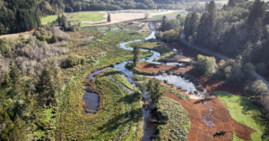
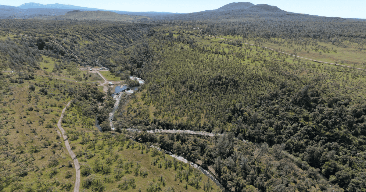
Downstream of Coleman National Fish Hatchery, Lower Battle Creek is one of the most important pieces of the String of Pearls network — and one of the last places endangered Sacramento River winter-run Chinook salmon touch fresh water before heading to the ocean. Working with the California Department of Fish and Wildlife, Ducks Unlimited, and River Partners, CalTrout re-contoured several acres of degraded wetlands along the creek and installed new water control structures to reconnect them to the main channel, allowing food-rich floodwater to flow directly to rearing juvenile salmon.
To prove it was working, researchers placed floating cages holding juvenile Chinook in both Battle Creek and the newly restored wetlands and compared growth rates side by side. The results reinforced what CalTrout has found across the valley: fish with access to reconnected floodplain habitat grow faster and healthier than those confined to the leveed channel alone — evidence CalTrout is using to justify expanding similar projects up and down the Sacramento River corridor.
LOWER SACRAMENTO RIVER WATERSHED, 14 COUNTIES
A floodplain reconnection effort at landscape-scale.
Real numbers behind Fish Food, String of Pearls, and the coalition rebuilding the Sacramento Valley’s floodplains.
27k+ sq mi
Watershed area across 14 counties, supplying more than 2 million Californians
25k acres
Enrolled in Fish Food flood-drain cycles in 2025
~300 mi
Sacramento River migratory corridor will be connected by String of Pearls
A Historic Agreement for a New Era of Floodplain Management
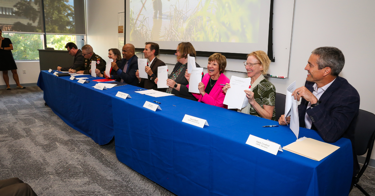
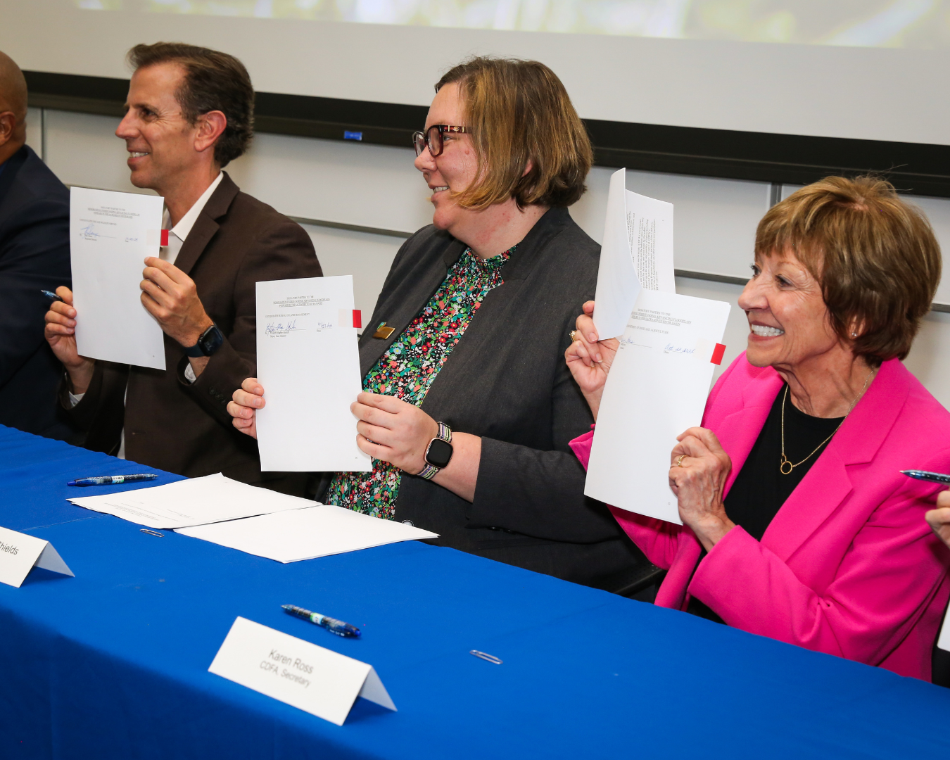
For years, floodplain restoration in the Sacramento Valley moved one project, one permit, and one landowner at a time. That began to change on October 23, 2024, when the U.S. Fish and Wildlife Service, Bureau of Reclamation, Army Corps of Engineers, and California’s Natural Resources Agency, Department of Fish and Wildlife, and Department of Water Resources signed a landmark agreement to streamline funding, planning, and implementation of floodplain projects across the basin.
The agreement recognizes what CalTrout and its coalition partners have argued for years: floodplains aren’t just habitat, they’re essential infrastructure for flood protection, groundwater recharge, and agricultural resilience, alongside salmon recovery. It clears the way for exactly the kind of landscape-scale restoration String of Pearls is built to deliver — a connected chain of floodplain sites, rather than a scattering of one-off projects, spanning the length of the river.
None of this restoration requires abandoning the Sacramento Valley’s working farmland. CalTrout’s approach is to re-create the function of the historical floodplain — the food, the habitat, the seasonal rhythm — while keeping thousands of acres in agricultural production. It’s a model built on the idea that a valley that feeds California can feed its salmon too.
CALTROUT IN ACTION
Stories from the Lower Sacramento River.
-
Looking Back, Moving Forward: Historical Ecology as a Tool for Restoration in the Sacramento Valley and Beyond
Read more →: Looking Back, Moving Forward: Historical Ecology as a Tool for Restoration in the Sacramento Valley and Beyond -
Scaling Floodplain Conservation and Salmon Recovery in California’s Central Valley
Read more →: Scaling Floodplain Conservation and Salmon Recovery in California’s Central Valley -
Battle Creek Offers a Lifeline for Endangered Winter-Run Chinook Salmon
Read more →: Battle Creek Offers a Lifeline for Endangered Winter-Run Chinook Salmon
Support caltrout
Help Restore the Sacramento Valley’s Floodplains
The science behind floodplain restoration is proven, landowner interest is growing, and a historic interagency agreement has opened the door to restoration at a much larger scale — but recent funding cuts mean this work now depends more than ever on private support. Your donation helps CalTrout keep floodplains flooded, salmon fed, and this rare partnership between farms and fish moving forward.