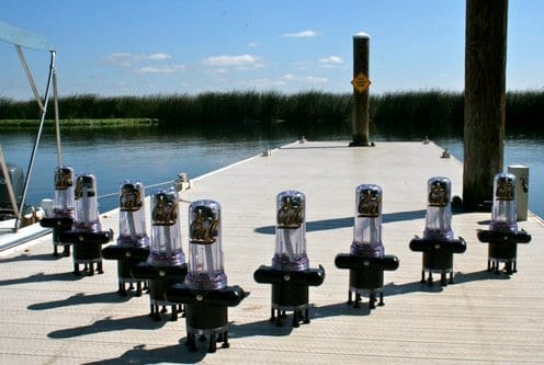
Small floating sensors — some of which are even self-propelled — are part of the Floating Sensor Project, which aims to collect data about California’s watersheds in ways stationary sensors never could:
The Floating Sensor Network team will build 100 motorized drifters, which are communication-enabled and integrate numerous sensors, including GPS, temperature, and salinity. The fleet will be deployable rapidly, in response to unanticipated events such as floods, levee breaches, and contaminant spills. The team is also working on hydrodynamic models (one and two dimensional shallow-water equations) and inverse modeling algorithms (Ensemble Kalman Filtering and its extensions) to integrate these measurements in the models. Jointly with the Lawrence Berkeley National Laboratories and the California Department of Water Resources, the team is developing a computational infrastructure which will run online (Web-based), and integrate in real-time the measurements from static sensors (for example, USGS permanently deployed sensing stations), mobile measurements, and any other data feed available to us, to estimate river flow and contaminant propagation in real-time, using online measurements. The results will be available to users in the form of “water maps”, that show the motion of water in real-time, and corresponding transported quantities (such as salt).
The Floating Sensor Network team will build 100 motorized drifters, which are communication-enabled and integrate numerous sensors, including GPS, temperature, and salinity. The fleet will be deployable rapidly, in response to unanticipated events such as floods, levee breaches, and contaminant spills. The team is also working on hydrodynamic models (one and two dimensional shallow-water equations) and inverse modeling algorithms (Ensemble Kalman Filtering and its extensions) to integrate these measurements in the models.
Jointly with the Lawrence Berkeley National Laboratories and the California Department of Water Resources, the team is developing a computational infrastructure which will run online (Web-based), and integrate in real-time the measurements from static sensors (for example, USGS permanently deployed sensing stations), mobile measurements, and any other data feed available to us, to estimate river flow and contaminant propagation in real-time, using online measurements. The results will be available to users in the form of “water maps”, that show the motion of water in real-time, and corresponding transported quantities (such as salt).

The sensors can communicate (scientists can gather data while the sensors are still in the water), and can measure things like water temperature, salinity, velocity and location.
Built at UC Berkeley, the sensor project is also supported by Lawrence Berkeley National Laboratories and the California Department of Water Resources, and can also be used during emergencies (floods, levee collapse, etc).
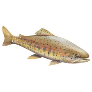
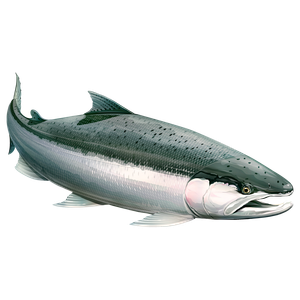
And no, we haven’t asked (yet) if we could use these to locate the biggest fish in the river…