
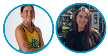
So great to meet you, Farrah! Could you share a bit about your background and what led to you becoming a CalTrout-sponsored graduate student?
I grew up along the Willamette River in Portland, Oregon and had easy access to both the mountains and coast, which gave me an amazing diverse landscape to learn from. While I wasn’t a boater or fisher[person], I was really interested in learning about the history of Oregon, especially the geography, geology, and hydrology of the area. I would often go to natural and culture museums with my family and the historical importance of salmon in our area was a common thread. Something that really stuck with me was learning about the importance of the fish, especially to the Indigenous people who rely on salmon to support their lives.
Being near rivers has been a constant in my life – everywhere I’ve lived, from Humboldt to Montana to the Wyoming, I tend to follow the water. This connection started early when I began open water swimming every summer with my dad across the Columbia River.
My academic interest in environmental and water issues took shape in high school when I became fascinated by the Klamath River dam removal project. It was exciting to see how many people were involved in facilitating such a monumental project for our region. While this was always in the back of my mind during school, I wasn’t sure what path could lead me to contributing to river restoration. I ended up pursuing an undergraduate degree in Environmental Science Management with a focus in Geographic Information System (GIS). This has given me a tangible application to pursue natural resource management and has allowed me to explore different areas of the environmental sciences to integrate into my current research.
Could you explain what GIS is and how it relates to your work?
GIS is a mapping tool that helps us understand natural resources along with the built environment. We use it to visualize watersheds, analyze topography, and track stream channels. By building layers of landscape data, we can better understand everything from climate patterns to how waters flow from headwaters to estuaries. It helps bridge the gap between mapping and ecology-based science.
How did you first get involved with CalTrout?
I discovered CalTrout during my undergrad when a peer presented her capstone project – a collaboration with CalTrout modeling climate variables for the Eel River watershed. I was immediately intrigued and asked to work with her. This led to working with the CalTrout North Coast team to develop a 30-meter ground surface temperature model for the Eel, which predicts average temperature conditions across the landscape in 30-by-30-meter cells.
Most publicly available climate data is at a much coarser resolution, generally 1-kilometer. By working at a finer scale, we can better understand microclimate effects, like the cooler, moister conditions in riparian areas along the Eel. This detailed analysis provides managers with a much clearer picture of habitat suitability and potential stressors. The more I worked with CalTrout, the more impressed I became with their data-driven approach to progressive research.
“The more I worked with CalTrout, the more impressed I became with their data-driven approach to progressive research.”
Let’s talk about your research! What is the work you’re doing with CalTrout and how will the research be used?
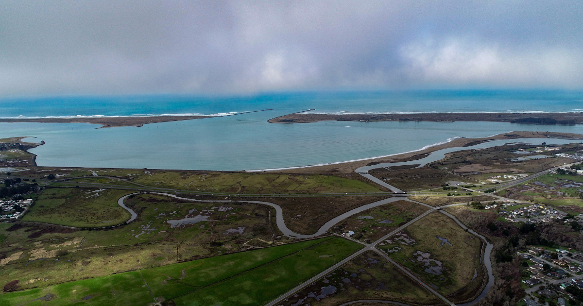
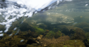
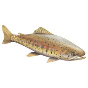
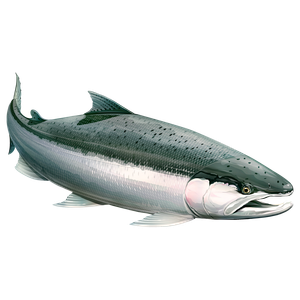
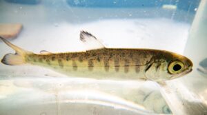
I’ll be supporting efforts to recover and protect threatened salmon and steelhead populations and their habitats in the Eel River watershed, as these numbers have significantly depleted. Historically, this watershed supported combined runs of over half a million adult salmonids annually.
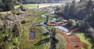
The Eel River Watershed and Conservation Program aims to restore and conserve habitat, with particular attention to river corridors and increasing connectivity along riparian habitat. We’re integrating this research with dam decommissioning efforts. While species recovery plans are already in practice, climate change is predicted to have localized effects on the watershed, including changes in temperature and precipitation which affect hydrologic regimes. This means we need to incorporate potential riparian refugia – areas in the riparian zone that are more resistant to climate change impacts – into habitat recovery and species restoration frameworks.
Our goal is to model areas where riparian refugia currently exist. By identifying these areas, we hope to increase habitat connectivity by linking high-quality habitats, which will benefit many aquatic species and make the entire watershed more resilient.
Why is this work important?
This research is important from both a fish and environmental perspective. Just as humans can move through the landscape using roads, bikes, and planes, aquatic species are very limited in how they can access important biological resource areas for their life histories. From that perspective, it makes more sense why integrating refugia is crucial, particularly defining areas where refugia is high in the watershed – where canopy cover is intact, solar radiation is lower, ambient temperature is moderated, and there’s little human disturbance to the landscape. The combination of these factors is what we use to describe refugia.
Areas of high refugia value are critical in conservation because they’re already healthy and high quality, so it’s important to direct conservation efforts toward protecting them. Conversely, areas of low refugia would be potentially important to prioritize for restoration. By identifying these areas and integrating data from in stream analyses, we can provide insight to land use managers and fisheries biologists where restoration and conservation efforts around water and riparian habitat will have the most potential benefit. Ultimately, this helps ensure funding is used efficiently.
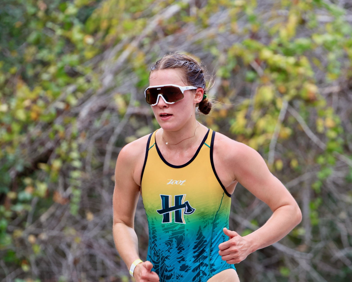
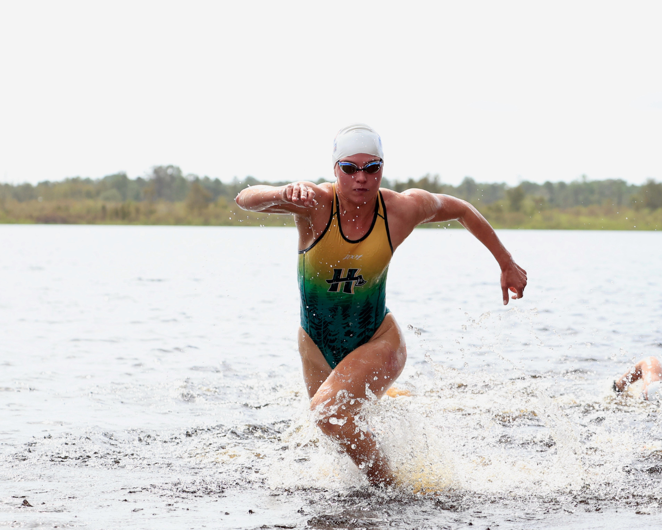
You completed your first triathlon at 12 years old. Is there any connection between your hobbies and your work in conservation?
Triathlon training gets me outside covering a lot of ground. I love to bike to the Mad River (Baduwa’t), which is my community gets our drinking water from. I love seeing it after it rains. Training takes me around the landscape, from the river to the ocean – it keeps me connected to the landscape.
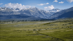
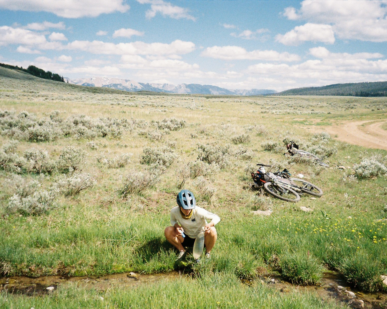
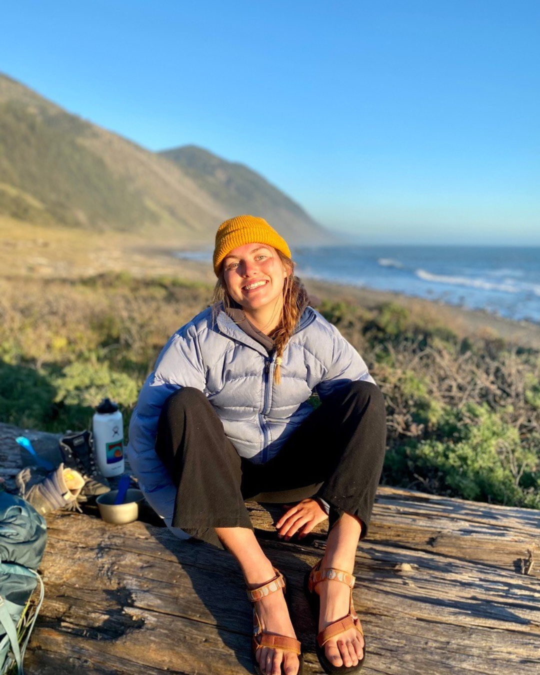
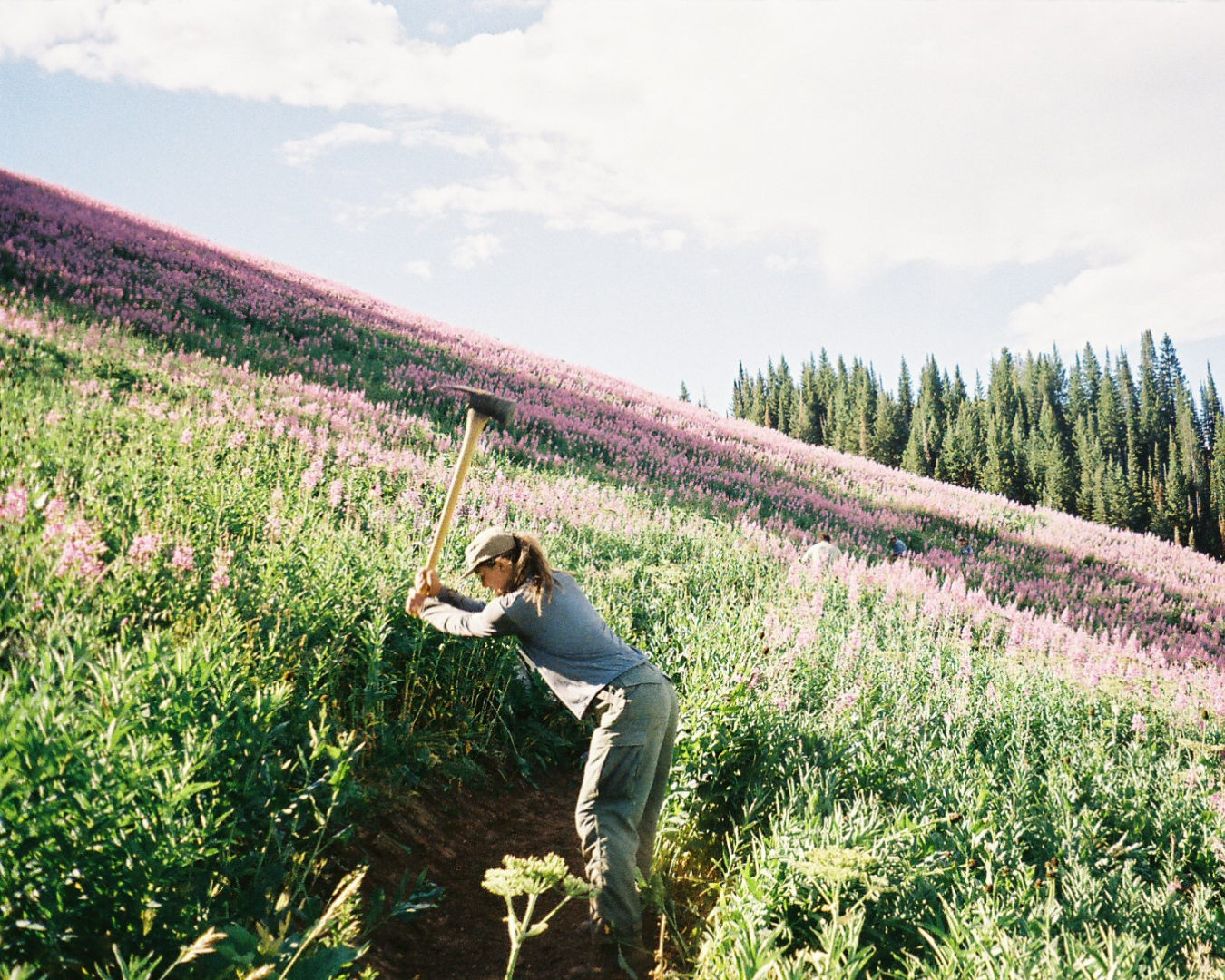
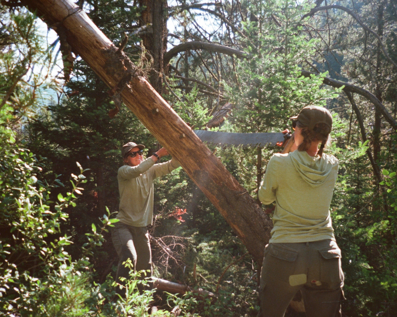
In the summers, I work a wilderness trail crew position in the Rockies. We’re dependent on local water sources on backcountry trips and plan our days around access to water. It pares things down to our simplest needs. Traversing the landscape on foot we usually follow drainages so we can filter often. It’s a good reminder to remember the importance of daily resources like clean water that we take for granted. Some trail projects have taken me to headwaters in Montana and Wyoming– it is amazing to see how rivers take form. I feel grateful for experiences like these and it motivates me to be outside any way I can.
Do you have a favorite memory of the Eel River?
My school triathlon team had an early season camping trip at Redwood National Park. On our way, we all jumped out and had an open water swim practice on the Eel. Early summer redwoods, ferns, riffle sand bar – just perfect. I’m sure there will be a lot of new memories when my field work kicks off this summer!
“Follow environments you love and people doing good work, and you’ll end up where you’re supposed to be.”
Do you have any advice for younger folks hoping to pursue a similar path?
At the beginning of college, I had no idea my current job existed. I have always pursued opportunities that I feel personally connected to in environments that inspire me. This has led me to great, like-minded people, who are also deeply connected to the landscape. I also barely knew what GIS was and struggled with general computer skills. But being openminded led me to an awesome place – a place where my academic and personal interests have converged. My advice? Follow environments you love and people doing good work, and you’ll end up where you’re supposed to be.