Lyell Glacier No Longer Big Enough To Be A Glacier
Climate change is already affecting California’s landscape; according to a recent survey, Yosemite’s Lyell Glacier has lost enough ice that it’s technically no longer a glacier, but simply a “dead” patch of ice (from KQED’s Science Blog):
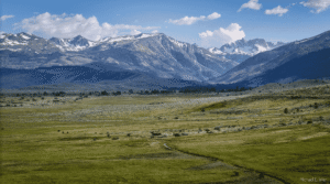
The Lyell Glacier is rapidly approaching a similar fate. A photograph from 1903 shows the Lyell Glacier as an unbroken swath of white. In the 110 years of melting since, the Lyell has been cleaved into two separate ice fields. The indications of disappearance are even more dramatic from the Lyell’s surface. High on a cliff on Mt. Lyell is a hand-painted orange letter “K.” When Point K was established in the 1930s, it was at the level of the ice; today, more than 120 feet of bare rock separate it from the glacier’s surface. The fading glaciers signal serious problems for the state’s already strained water supplies. A 2008 study conducted by a former hydrologist for Hetch Hetchy Water and Power, for example, predicted that 1.5 degrees Celsius of warming would trigger an uphill shift of snowpack by 2,000 feet by the end of the century – rendering nearly 60 percent of the Hetch Hetchy watershed snow-free by 2100. The Feather River, the main tributary of the Sacramento River, the state’s largest river (and key source of water to the State Water Project) is particularly vulnerable, says Michael Anderson, California’s state climatologist, since much of its snowpack is held at “lower” elevations between 5,000 and 6,000 feet.
The Lyell Glacier is rapidly approaching a similar fate. A photograph from 1903 shows the Lyell Glacier as an unbroken swath of white. In the 110 years of melting since, the Lyell has been cleaved into two separate ice fields. The indications of disappearance are even more dramatic from the Lyell’s surface. High on a cliff on Mt. Lyell is a hand-painted orange letter “K.” When Point K was established in the 1930s, it was at the level of the ice; today, more than 120 feet of bare rock separate it from the glacier’s surface.
The fading glaciers signal serious problems for the state’s already strained water supplies. A 2008 study conducted by a former hydrologist for Hetch Hetchy Water and Power, for example, predicted that 1.5 degrees Celsius of warming would trigger an uphill shift of snowpack by 2,000 feet by the end of the century – rendering nearly 60 percent of the Hetch Hetchy watershed snow-free by 2100. The Feather River, the main tributary of the Sacramento River, the state’s largest river (and key source of water to the State Water Project) is particularly vulnerable, says Michael Anderson, California’s state climatologist, since much of its snowpack is held at “lower” elevations between 5,000 and 6,000 feet.
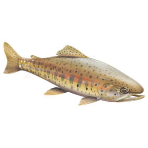
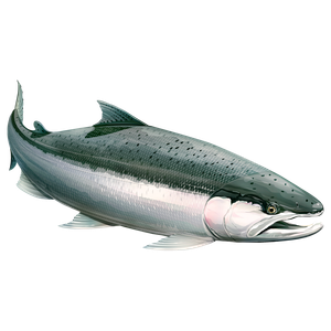
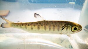
Most of California’s native trout, steelhead and salmon species are already at risk (see CalTrout’s “SOS: California’s Native Fish Crisis”); a loss of snowpack and glaciers isn’t going to help.
For more information, visit With so many of California’s native trout, steelhead and salmon species at risk (see CalTrout’s “SOS: California’s Native Fish Crisis”CalTrout’s “Fish” web page.