Truckee River Bank Stabilization and Angler Access
Truckee River Bank Stabilization and Angler Access
Project Goal:
Provide a stabilized channel access point for anglers, boaters, and other recreational users, reduce sediment delivery to the Truckee River, and restore native riparian vegetation. A defined access point in this area will also help reduce user traffic in the surrounding area therefore reducing impact to native vegetation and river bank habitats.
Completed:
October 2023
Region:
Project Funders
Mark T. Chamberlain Trust
Community Foundation of Northern Nevada
Fish Affected:
Threats:

Project Description
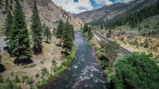
This project is located on the Truckee River near the Nevada State border in Eastern Nevada County, CA. This was a collaboration between CalTrout, Balance Hydraulics, and The Truckee Donner Land Trust. The Truckee Donner Land Trust identified the project site and helped get CalTrout staff in touch with the landowner who was willing to move forward with a project.
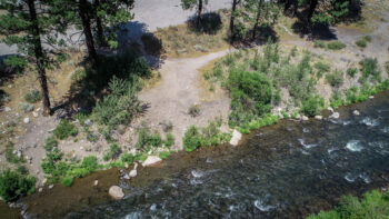
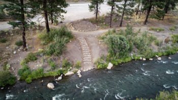
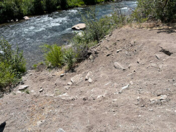
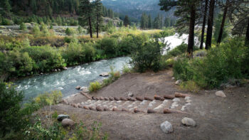
Along this section of the Truckee River, an eroding bank had led to hazardous conditions for recreators trying to access the river and surplus sediment entering the river. The project stabilized this steep eroding bank with a series of small terraces comprised of logs and boulders and backfilled with native material generated from onsite. The site is easily accessed from a pullout along eastbound Interstate 80 and the banks had been impacted by heavy recreation use. The terraces not only stabilize a source of sediment to the Truckee River, but also provide an access point for a variety of user groups (anglers, raft put-in/put-out, general recreation). Each terrace includes between six to eight 2-foot diameter (1/2-ton) boulders and the bottom step along the edge of water will be constructed with five 3-foot diameter (1-ton) boulders. The side slopes were revegetated with willow pole plantings and/or native seed mix. Additional boulders were placed within the Truckee River to create a jetty-like feature just upstream of the proposed access pathway; the jetty boulders are intended to create a calm water eddy pool that will allow for easy raft put-in/put-out.
Project Partners:
Truckee Donner Land Trust
Balance Hydraulics
Before:
After:
Before:
After:
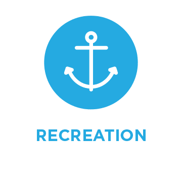 Human use of streams, lakes, and surrounding watersheds for recreation has greatly increased with population expansion. Boating, swimming, angling, off-road vehicles, ski resorts, golf courses and other activities or land uses can negatively impact salmonid populations and their habitats. The impacts are generally minor; however, concentration of multiple activities in one region or time of year may have cumulative impacts.


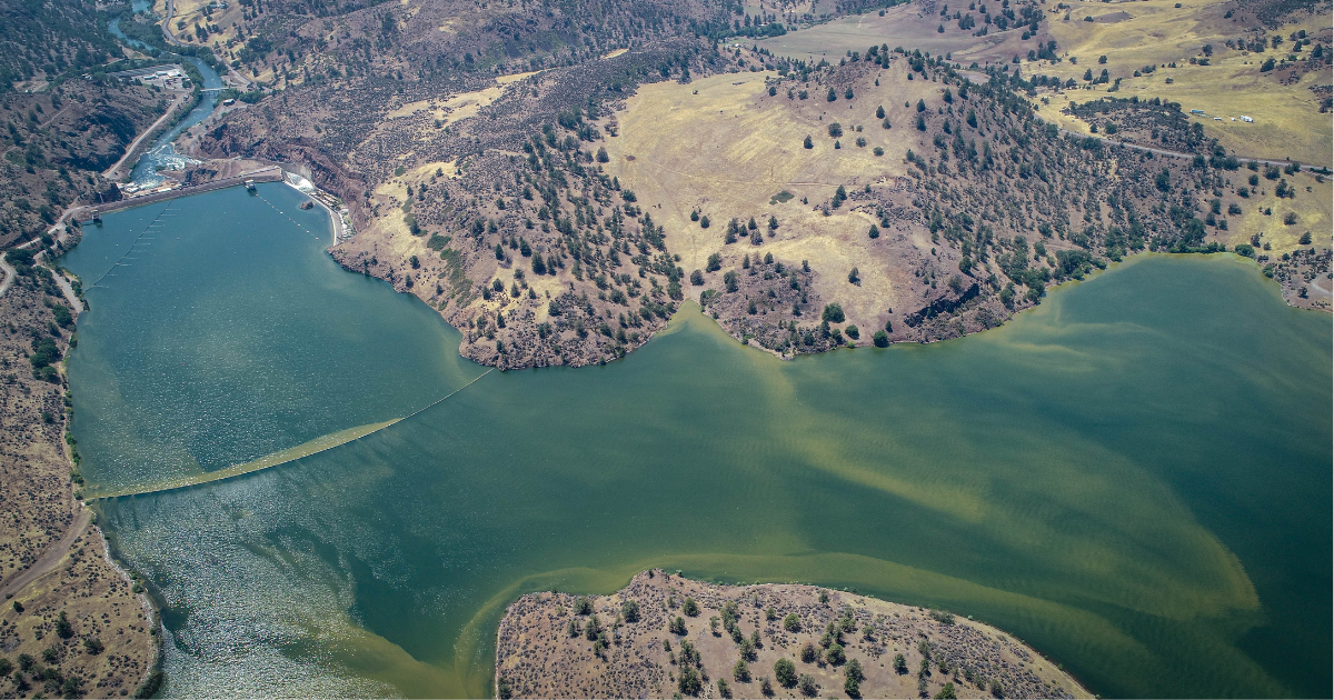
 Dams block access to historical spawning and rearing habitats. Downstream, dams alter the timing, frequency, duration, magnitude, and rate of change of flows decreasing habitat quality and survival.