Field Note: Floating the Wild and Scenic Tuolumne River
A Field Note from the Wild and Scenic Tuolumne River
by Kara Glenwright
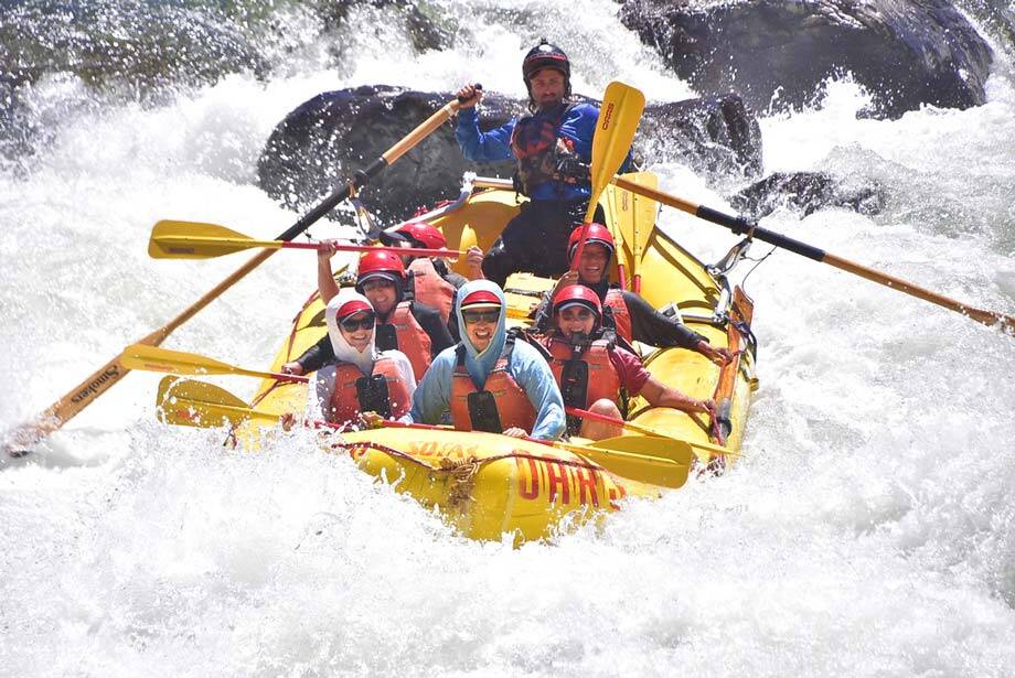
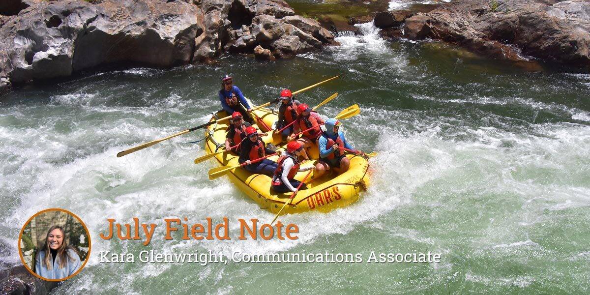
“Paddle forward, forward, forward!” our guide hollers. I shove my paddle deep into the water, three ferocious strokes, before he shouts the next direction, “GET IN!” I dive into the middle of the boat, wet rubber squeaking beneath my shoes. The raft soars down landing with a colossal splash.
White water roars around our inflatable vessel, tossing us up and down and then back again as we navigate the 8-foot staircase drop of Clavey Falls, a Class IV+ rapid. I huddle inside the boat, accompanied by my five co-workers. All six of us are wide-eyed and grinning with one thing on our minds: stay in the boat!
Someone lets out a yelp of excitement or fear, and then the guide is yelling at us to get back in positions and “paddle backwards!” A few paddle strokes more and then we’re back huddled in the middle of the boat ready for the next drop. A photographer perches on a rock ledge above us, ready to capture our reactions, and I can’t help feeling like I’m riding down Splash Mountain at Disneyland. I smile through the last drop.
While Disneyland’s Splash Mountain thrilled and frightened me as a child, the ride down Clavey Falls is much crazier. Not only does real danger exist in our rapid descent down the falls, but we small rafters are also hurtling through a vast and tangled context of political, legal, financial, cultural, and natural influences that have and continue to shape California's rivers. Our trip down the Tuolumne River has us traveling through a profoundly connected system. Connected through space – from headwaters to the sea – and connected through time – from glacial periods to gold rushes – every reach and epoch leads an indelible mark on the health of the system we see today. Ultimately, understanding those connections is vital to managing rivers effectively, and that matters to all of us, not just to the fish.
At the base of the falls, my raftmates and I raise our paddles to the sky for a paddle high-five. Everyone is wide-eyed and grinning, and miraculously all six of us (plus our guide!) are still in the boat. The Tuolumne River water froths and bubbles around us like champagne.
At over 13,000 feet high, the Tuolumne River begins in Yosemite National Park at Mount Lyell and Mount Dana, traveling 149 miles downstream before reaching its confluence with the San Joaquin River, just 50 feet above sea-level. The Tuolumne is designated as a Wild and Scenic River and is protected as such under the Wild and Scenic Rivers Act. Throughout the US, this Act protects over 14,000 miles of rivers selected for their remarkable scenic, recreational, geologic, fish and wildlife, historic, or other similar values.
The Wild and Scenic Tuolumne River feels just that – wild and scenic – and yet I was surprised to learn that it is constrained on both sides by two large scale reservoir systems. The upstream reservoir, Hetch Hetchy, located in Yosemite National Park, controls downstream flows for the river. From this reservoir, the majority of water is diverted to San Francisco and the Bay Area for drinking water. A small fraction of the reservoir’s water is released down the Tuolumne for recreational flows and to ensure adequate flows for fish populations. Downstream, New Don Pedro Reservoir catches the released water and stores it for agricultural and urban water supply, flood control, hydropower, and recreation.
While CalTrout is not actively involved with the Tuolumne River watershed, my coworkers and I have been invited on a 3-day rafting excursion to explore the geology, hydrology, biology, and politics that have shaped the system we see today. From Meral’s Pool to Ward’s Ferry Bridge, we navigate 18 river miles with 15 named rapids – all of which we successfully traverse thanks to the awe-inspiring skills of our OARS rafting guides.
We are lucky enough to be joined on the river by Dr. Jeffrey Mount, senior fellow at the PPIC Water Policy Center, emeritus professor of earth and planetary sciences and founding director of the Center for Watershed Sciences at the University of California, Davis, CalTrout Board Member, and the generous sponsor of our invitation to join this trip! We are also joined by Brian Gray, senior fellow at the PPIC Water Policy Center and professor emeritus at the University of California, Hastings College of the Law in San Francisco, and Dr. Stephanie Carlson, UC Berkeley Professor and A.S. Leopold Chair in Wildlife Biology and CalTrout Board Member.
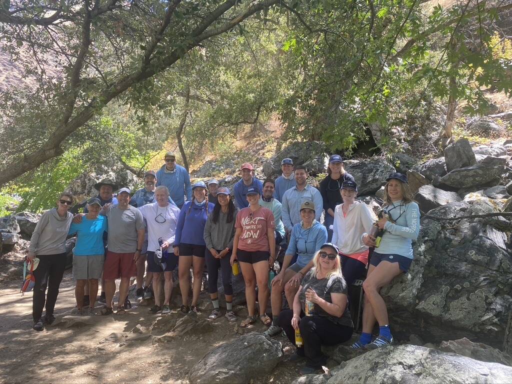
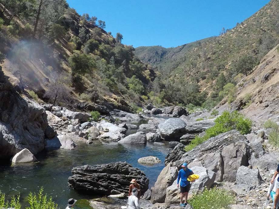
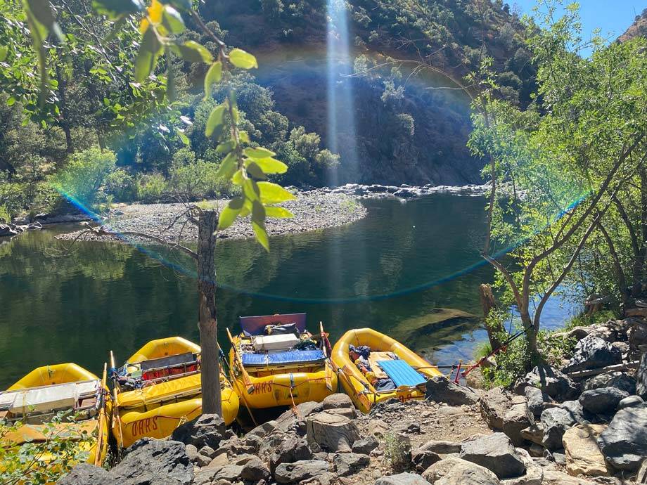
We spend the day before our run down Clavey Falls, camped on the banks of the Tuolumne and Clavey rivers' confluence, the sound of the falls, mere meters away, building nervous anticipation. Granite cliffs coated in dry shrubbery tower above us. Their late afternoon shade and the cool water of the two rivers provide us with a welcome respite from the dry heat.
Because San Francisco Public Utilities Commission (SFPUC) owns Hetch Hetchy Reservoir and thus controls downstream flows into the Tuolumne, our trip has a layover day, No Water Wednesday. The river does not have adequate flows for us to float it, and so we have a full day to spend exploring the meandering pools and waterfalls of the Clavey River.
Dr. Jeffrey Mount and Dr. Stephanie Carlson lead us up the Clavey, snorkels and water bottles in hand, as they share with us the stories of the rocks and fish that make up this landscape. California roach, hardheads, rainbow trout, Sacramento pikeminnow, and Sacramento suckers all swim here. Since the Clavey River is a shallower system than the Tuolumne and not reservoir fed, the water here is warmer and our group too enjoys some excellent swimming.
In the evening, Brian Gray regales us with the tale of how Hetch Hetchy came to be the massive reservoir and dam it is today. The project faced opposition at the time that it was proposed, and still today some of that opposition exists. Learning about Hetch Hetchy makes me think about the dams that CalTrout is involved in advocating for the removal of – and how all dams come with their fair share of costs and benefits.
I fall asleep that night beneath a tapestry of a million stars. I’m not ready to go back to the real world yet, but when I do get there, I can feel the renewed sense of respect for CalTrout’s work that will carry me back.


4 Comments
Story well told!
That sounds like a fun trip. What time of year did you go? Do you know what the flows were? I’ve been wanting to get out onto the Tuolumne and Cherry Creek. Did you see other outfitters or private boaters on your trip?
You say it well that dams have costs and benefits. I often raft on the Kern River, the Lake Isabella Dam allows the recreational boating season to last much longer than it would naturally. Dams certainly have varying levels of detriment on nature depending on the size and location, but it is fun taking advantage of the recreational benefits they provide.
Hi David, thanks for your comment. This was definitely a fantastic trip! We were on the river from June 28-30. I am not entirely sure what the flows were, but I found this website that seems like it might show historical flow data for this date range: https://www.americanwhitewater.org/content/River/view/river-detail/326/flow. The Wednesday of our trip, water was not released from upstream reservoir Hetch Hetchy, and thus flows were not sufficient for us to run the river. While we were on the river, we saw one other group with a different outfitter, completing the same trip as us. Thanks for sharing your thoughts on dams – definitely a complex topic!
where can i find fish per mile data for the Tuolumne?